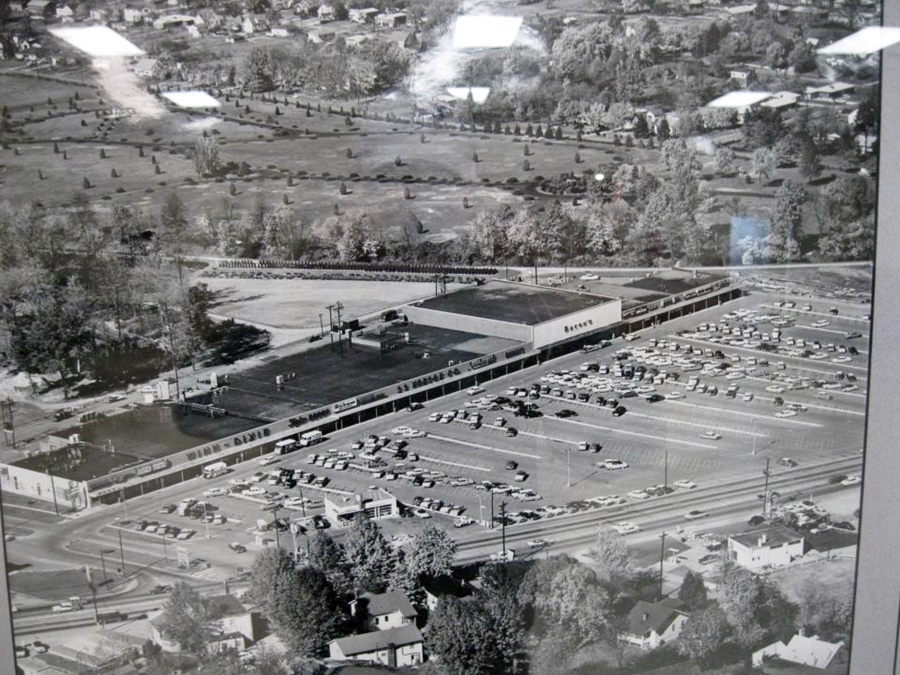
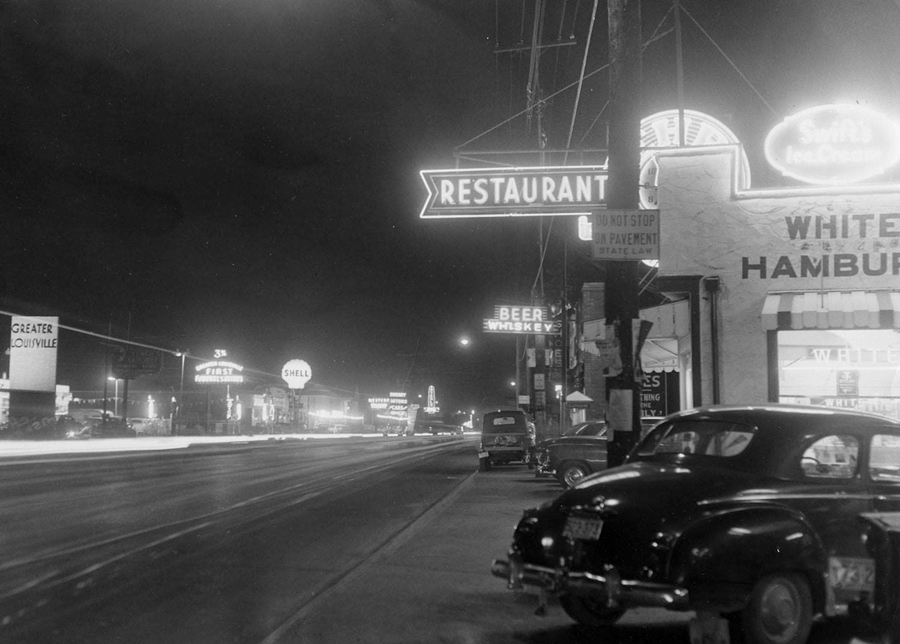
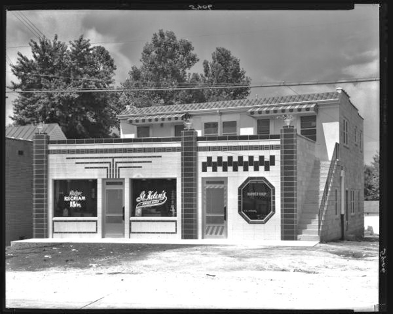
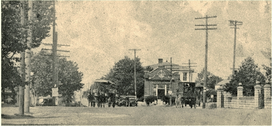
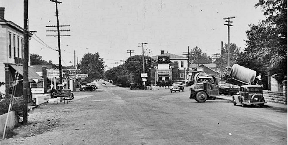
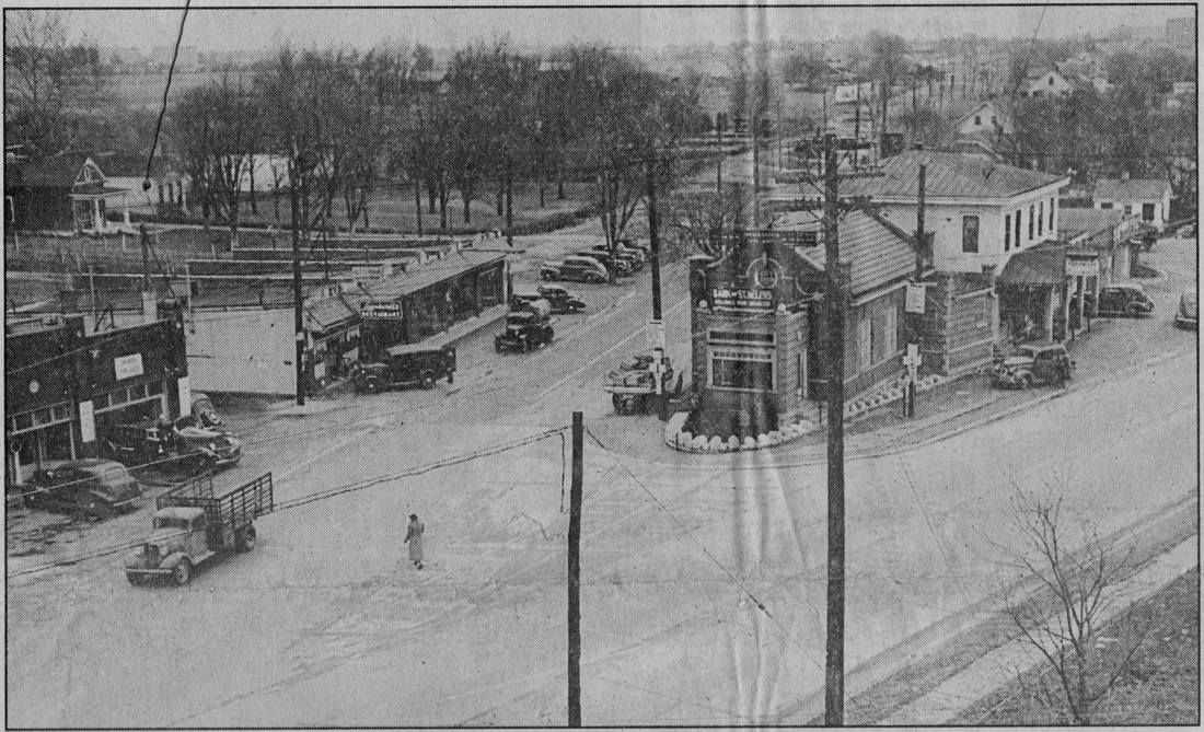
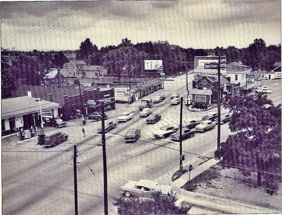
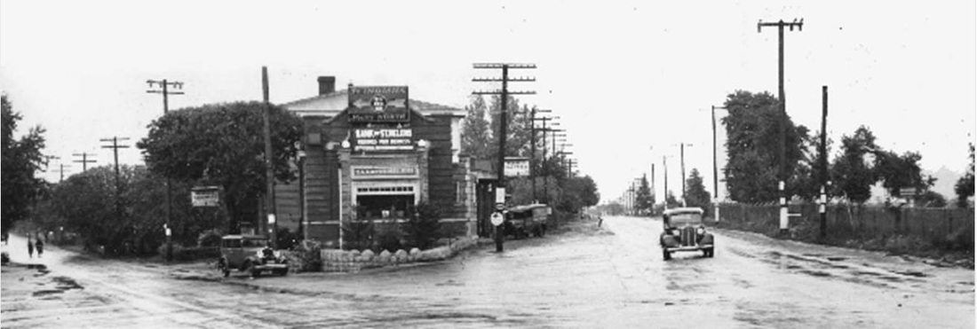
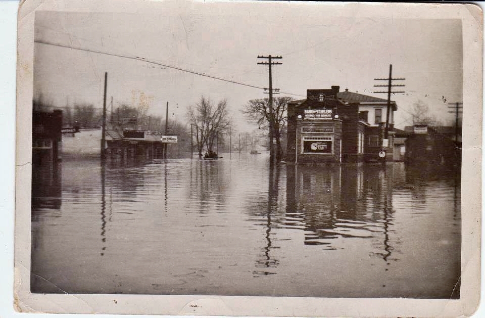
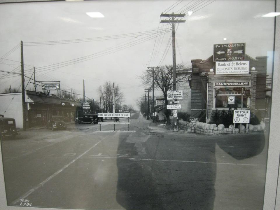
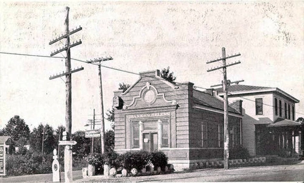
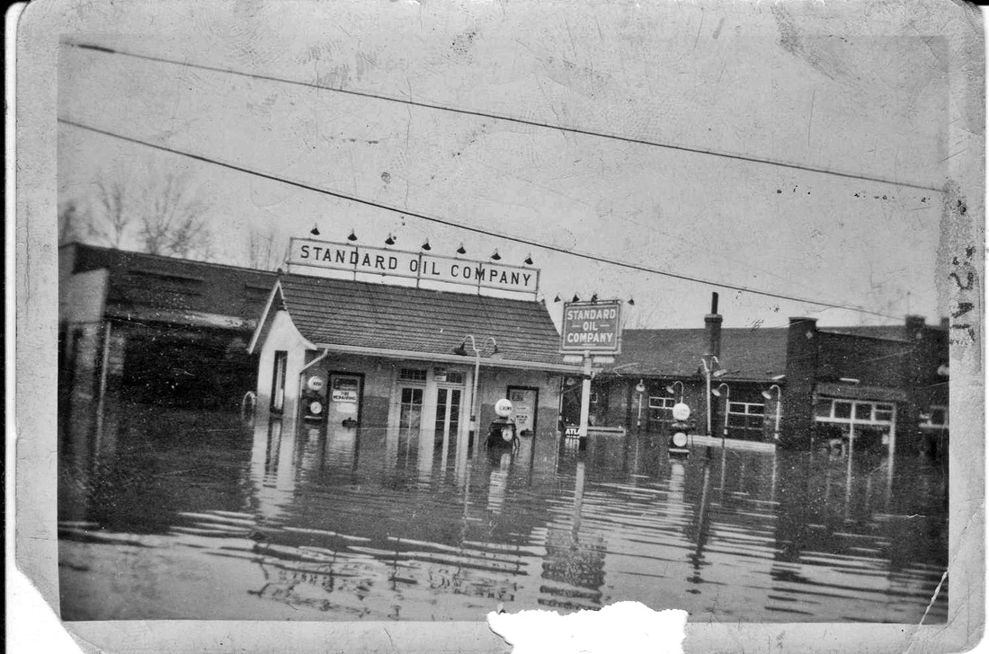
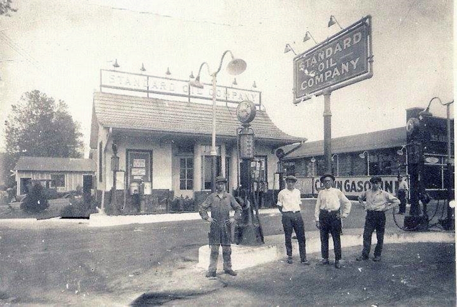
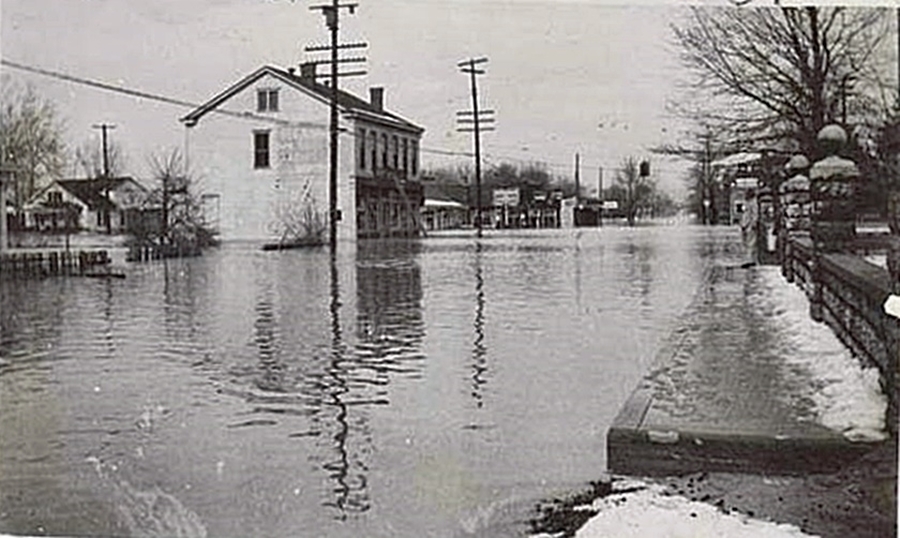
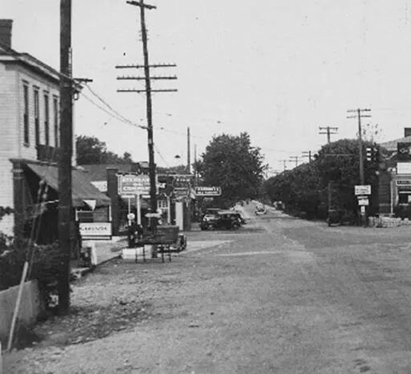
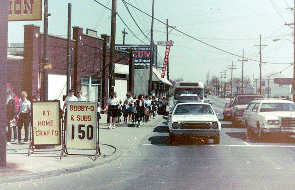
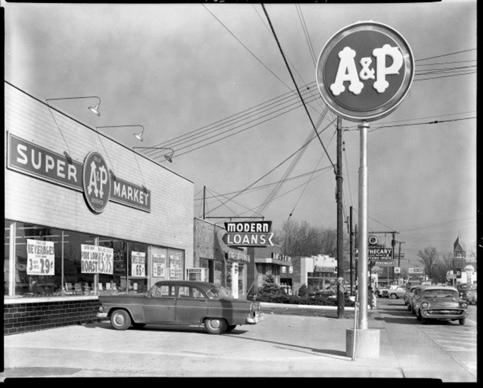
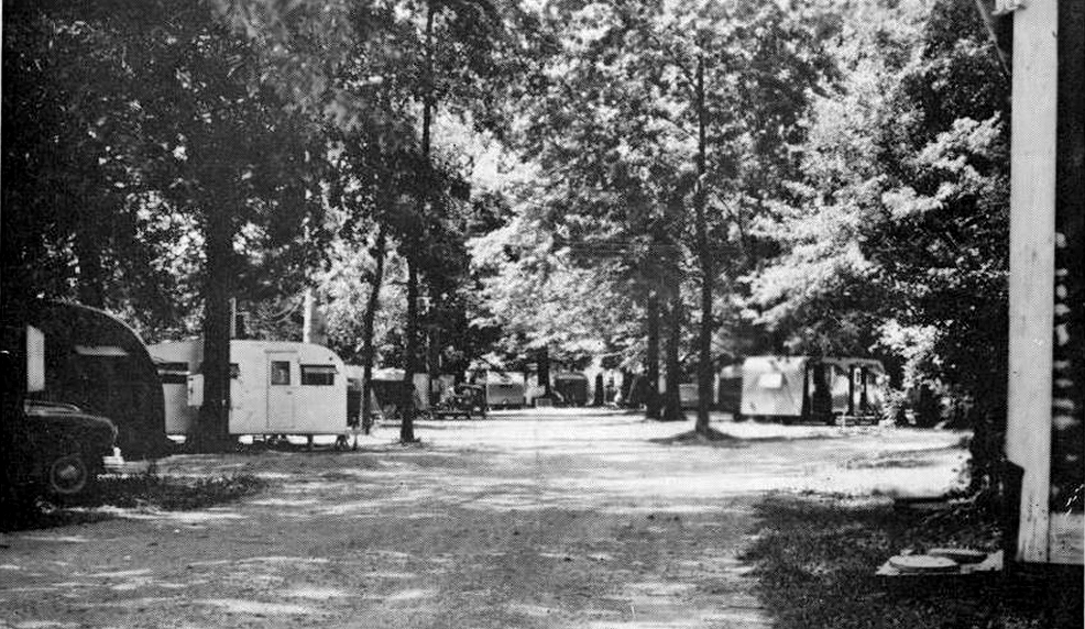
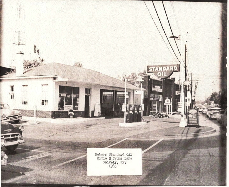
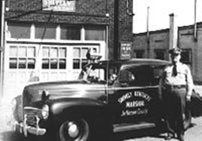
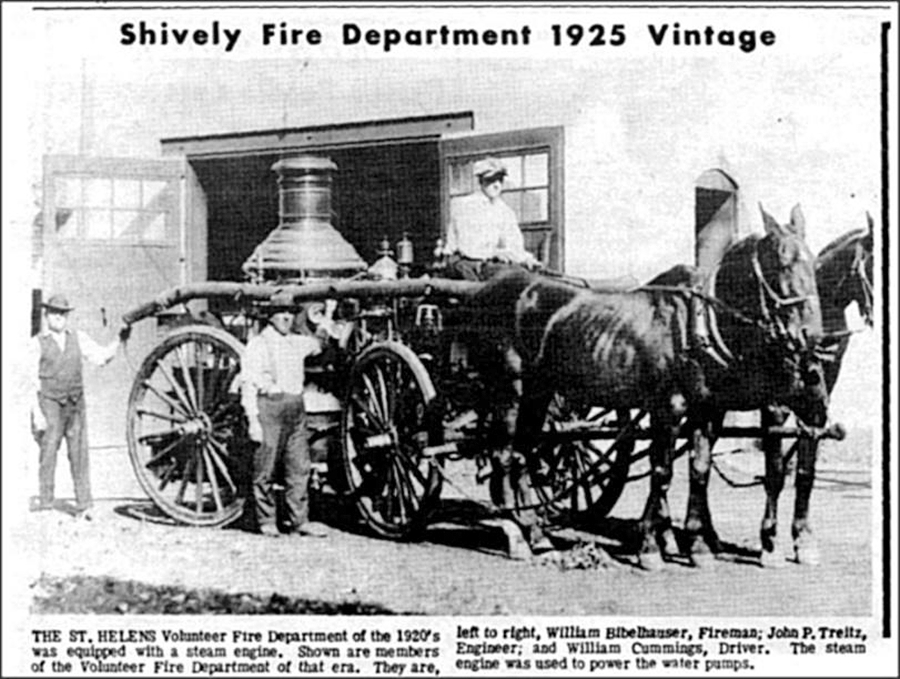
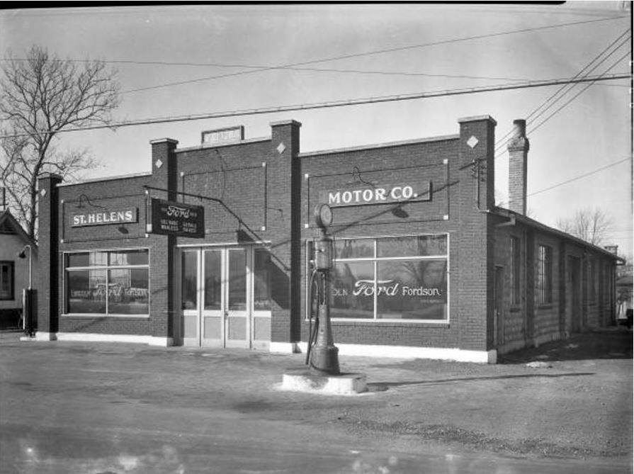
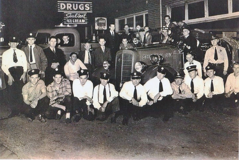
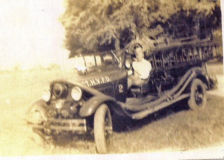
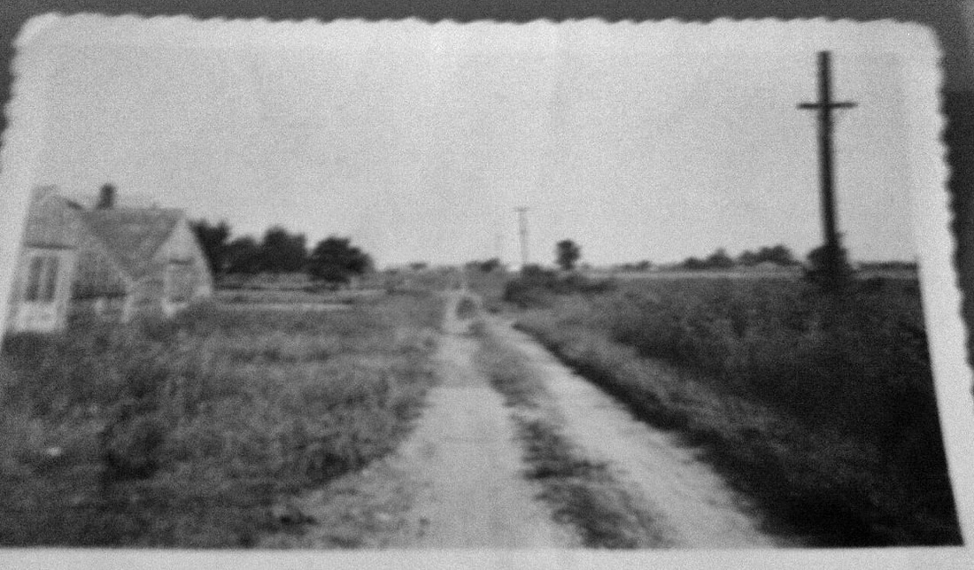
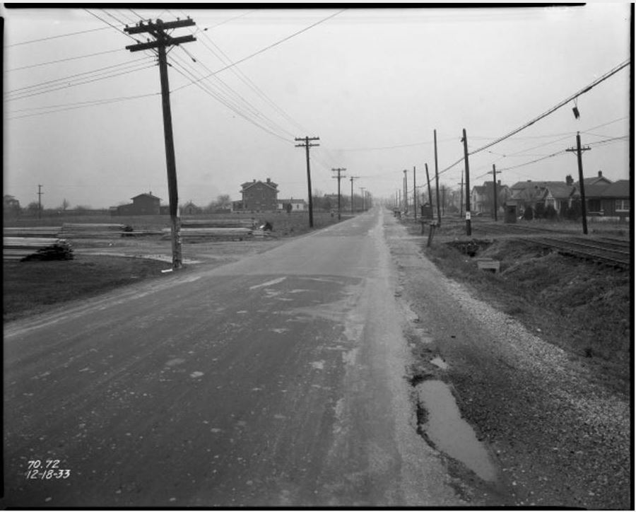
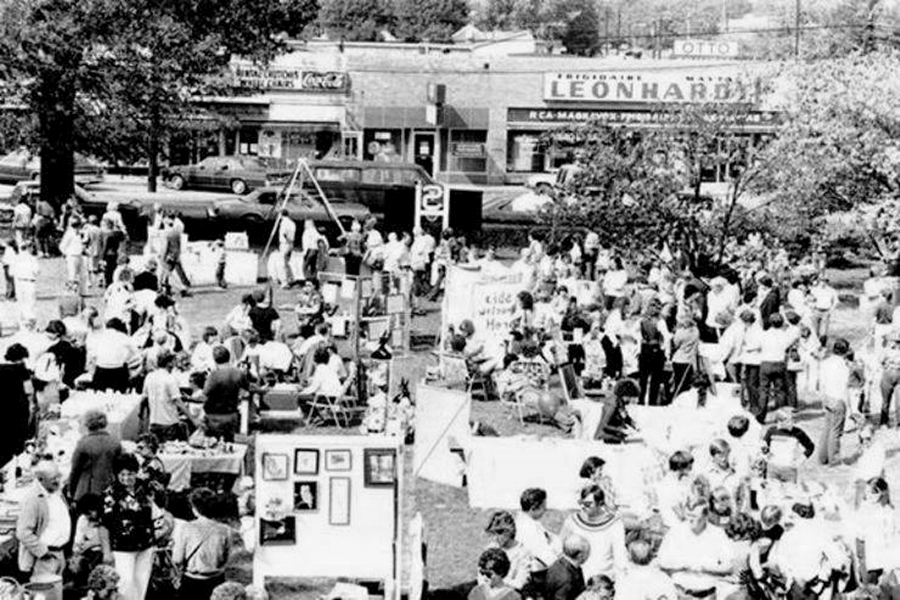
The Neighborhood
Click image to begin a manual slide show. Keyboard arrows can be used.
There are four photo galleries on this page. Scroll down to see the the other three.
There are four photo galleries on this page. Scroll down to see the the other three.
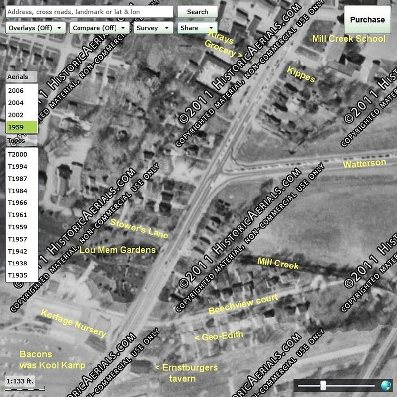
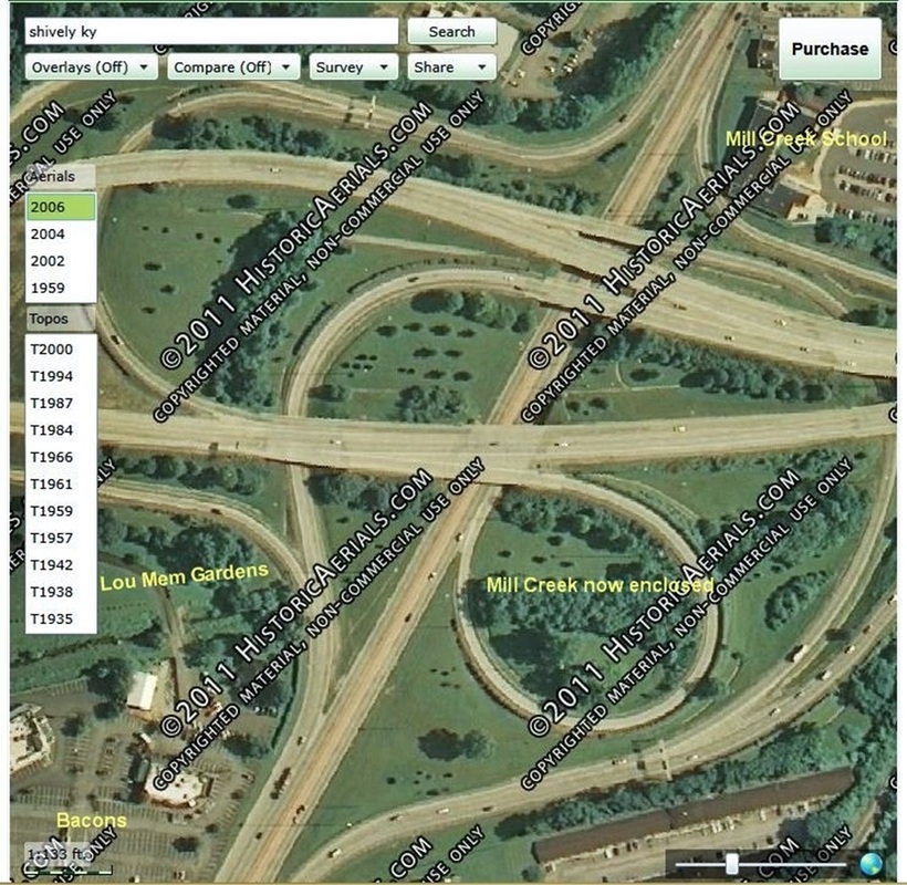
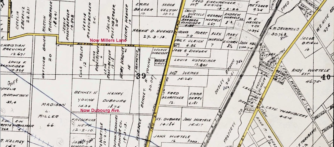
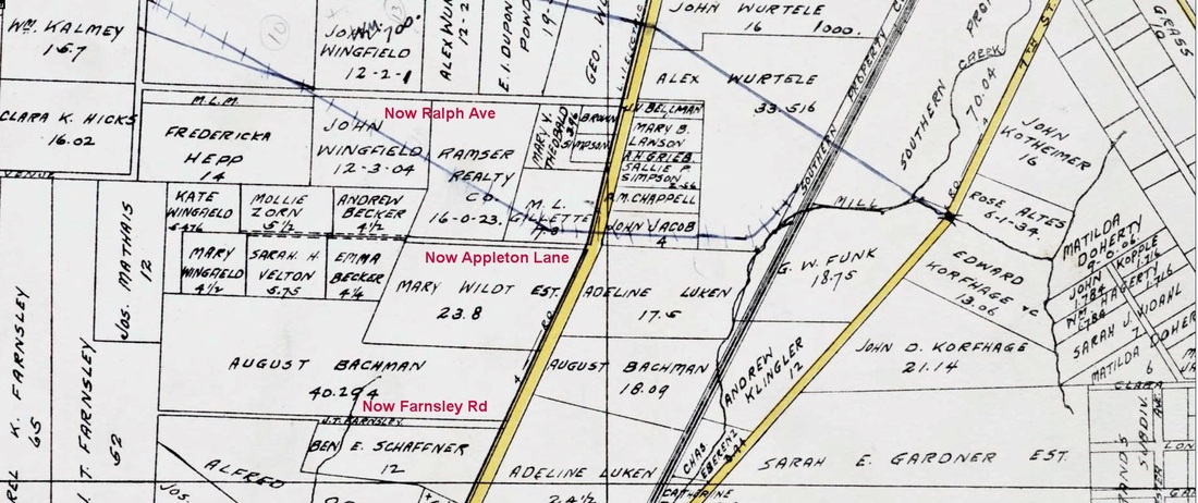
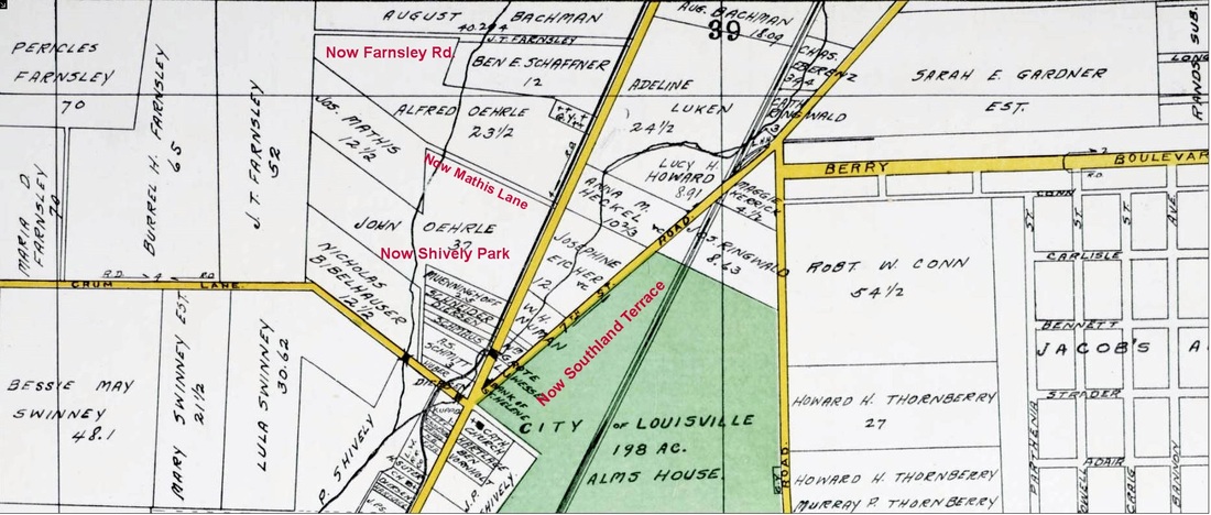
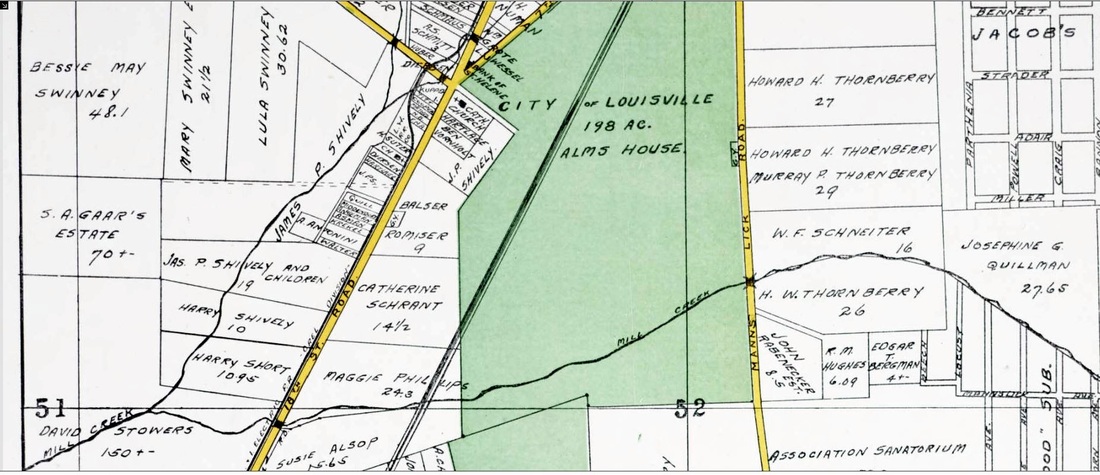
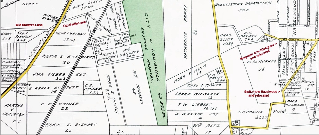
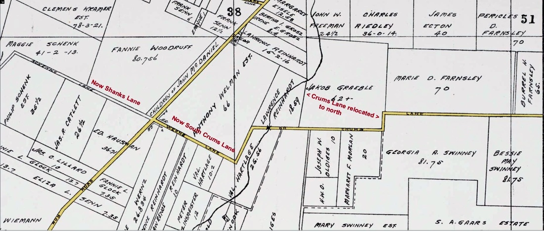
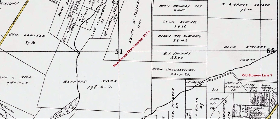
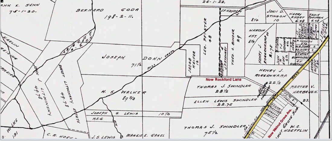
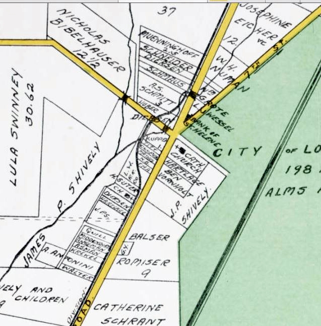
Below are Maps from year 1913 at the U of L Digital Archives. They show the property owners of Shively area residents, many among the first parishioners of St. Helen's Parish. The first 5 maps show the 18th St/Dixie Hwy corridor from north to south. The next 3 show areas west of Shively. The final map is a closer look at the area immediately around St. Helens.
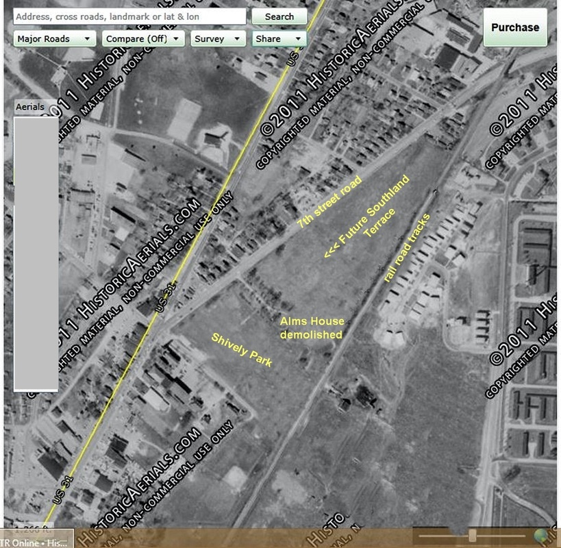
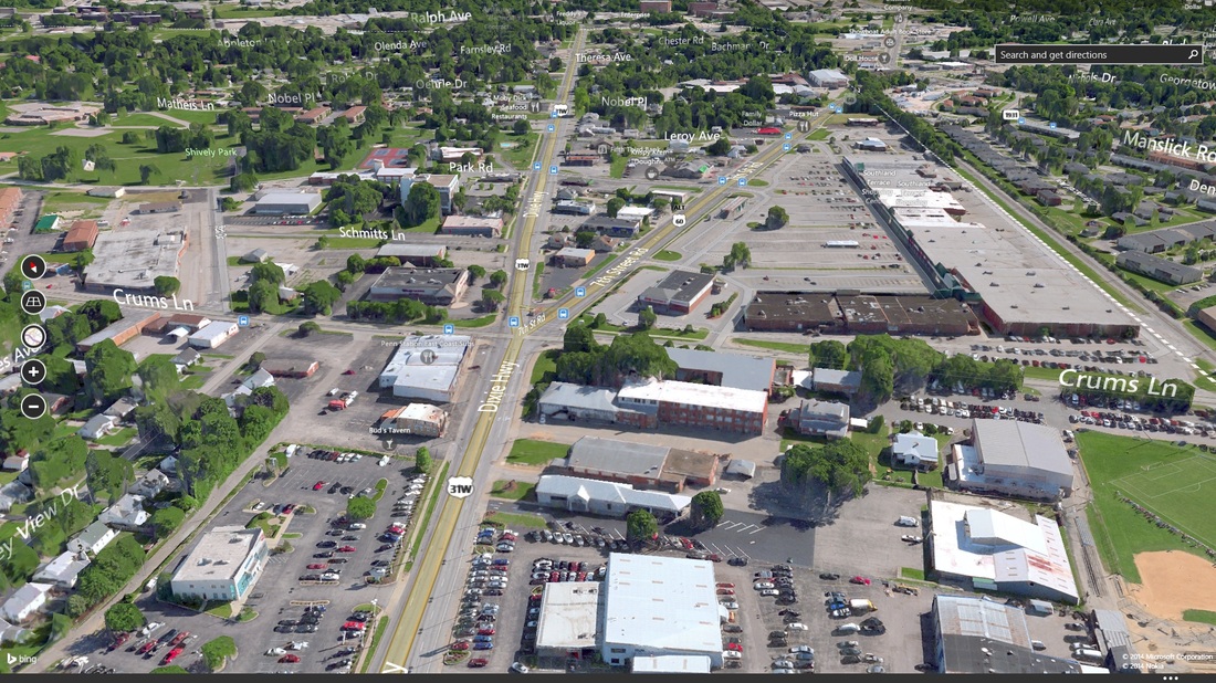
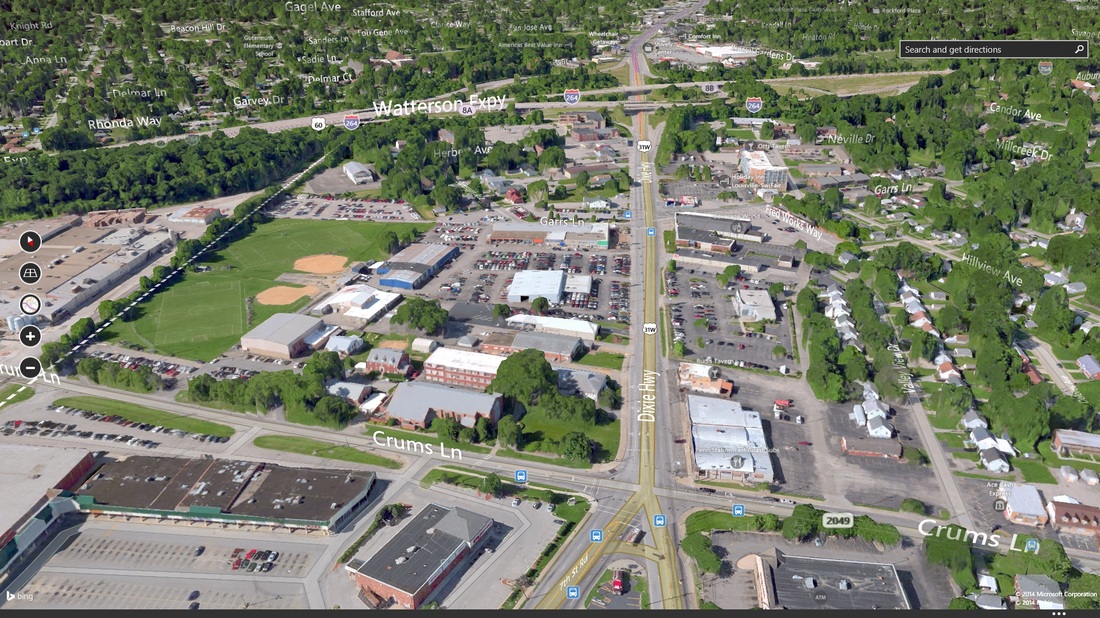
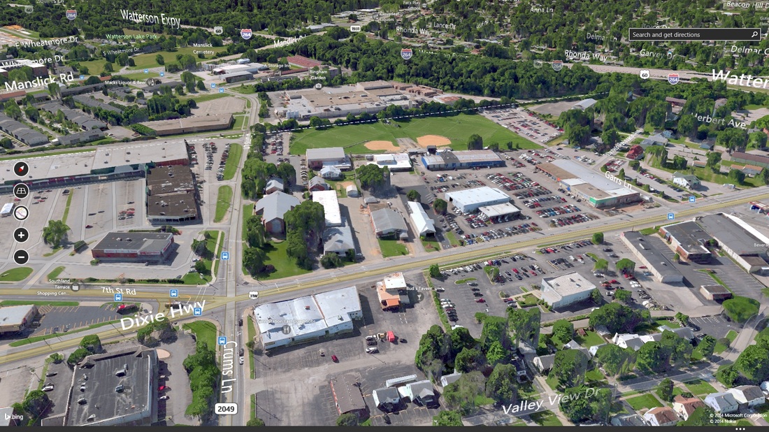
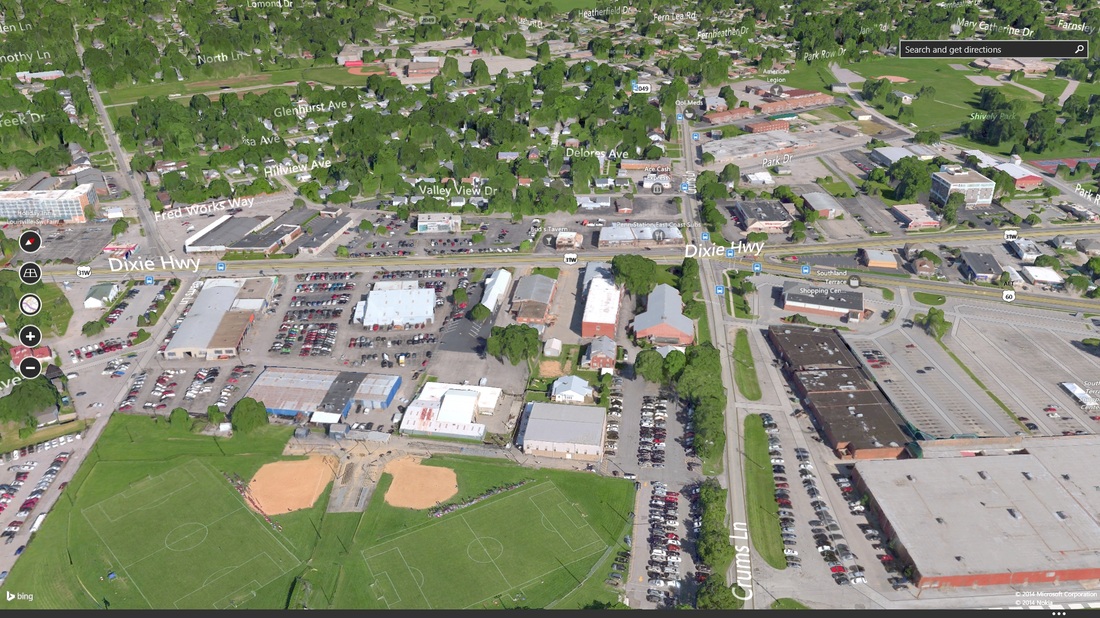
Below are Bing aerial photos from 2013 before St Helen's School was demolished.
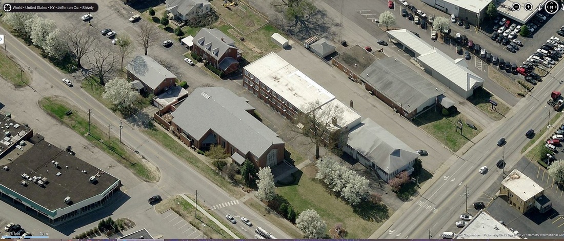
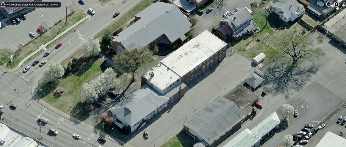
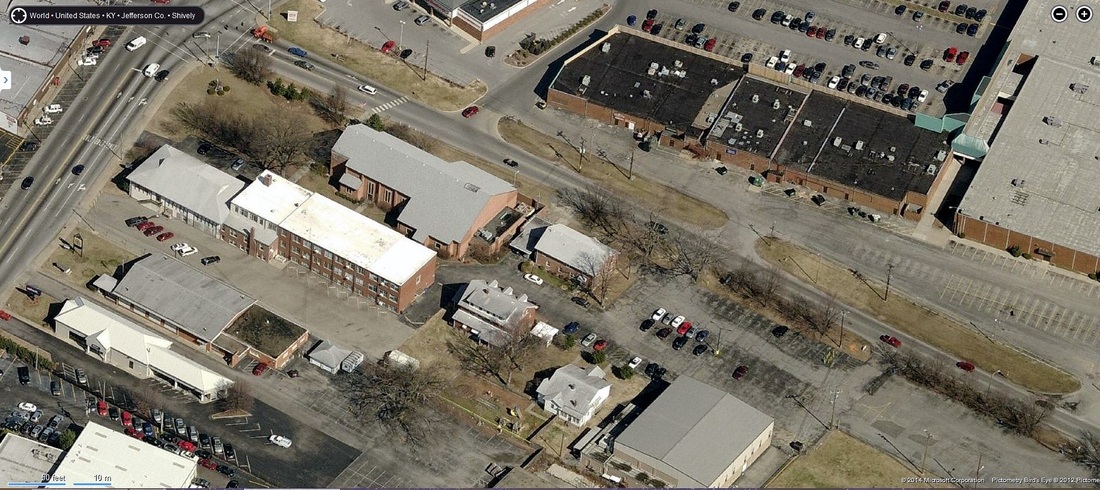
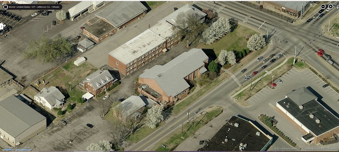
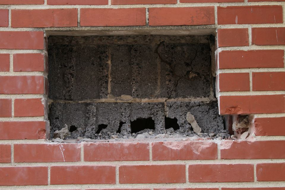
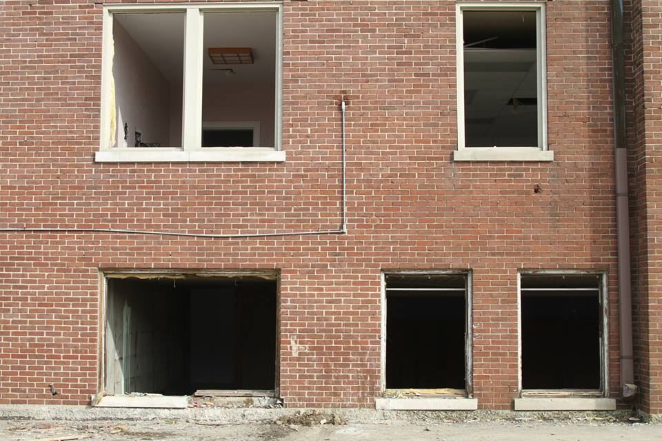
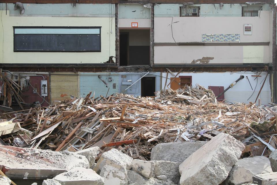
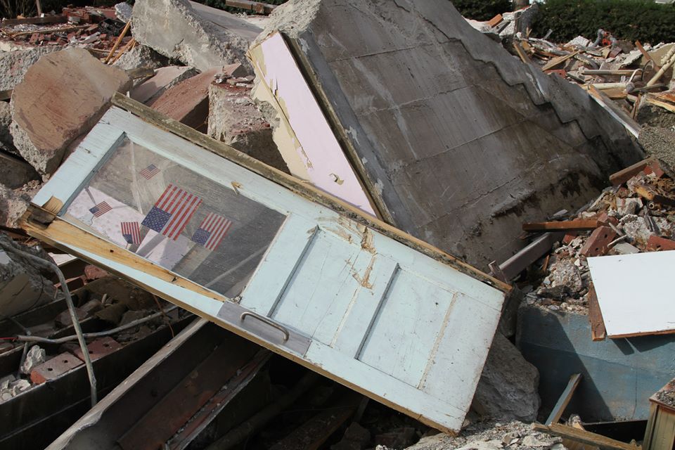
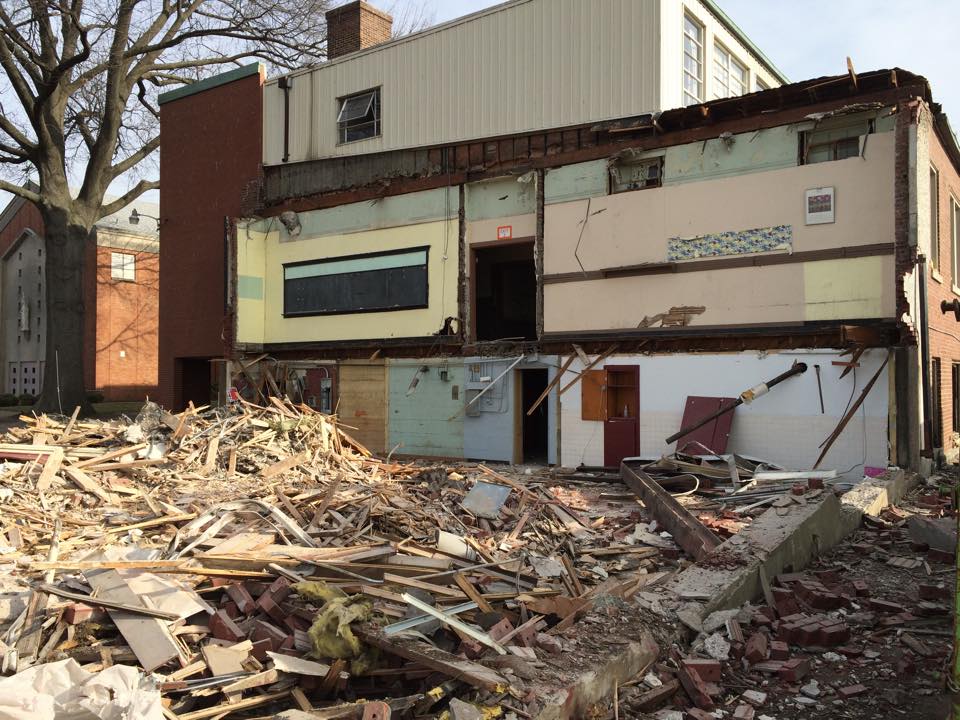
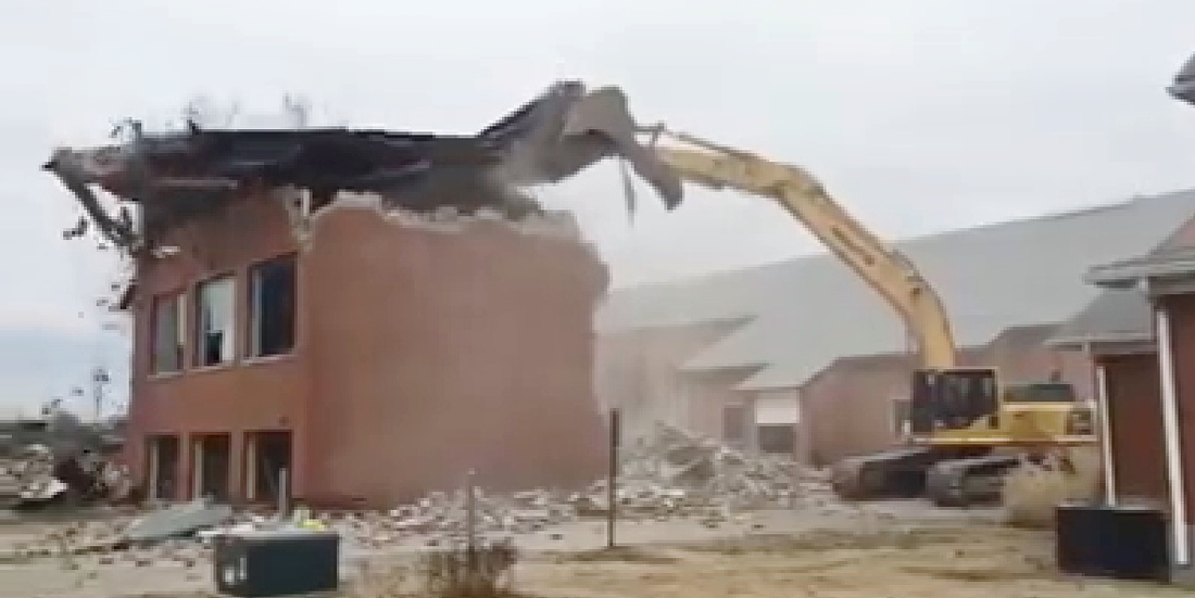
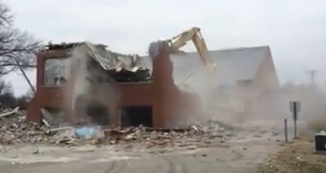
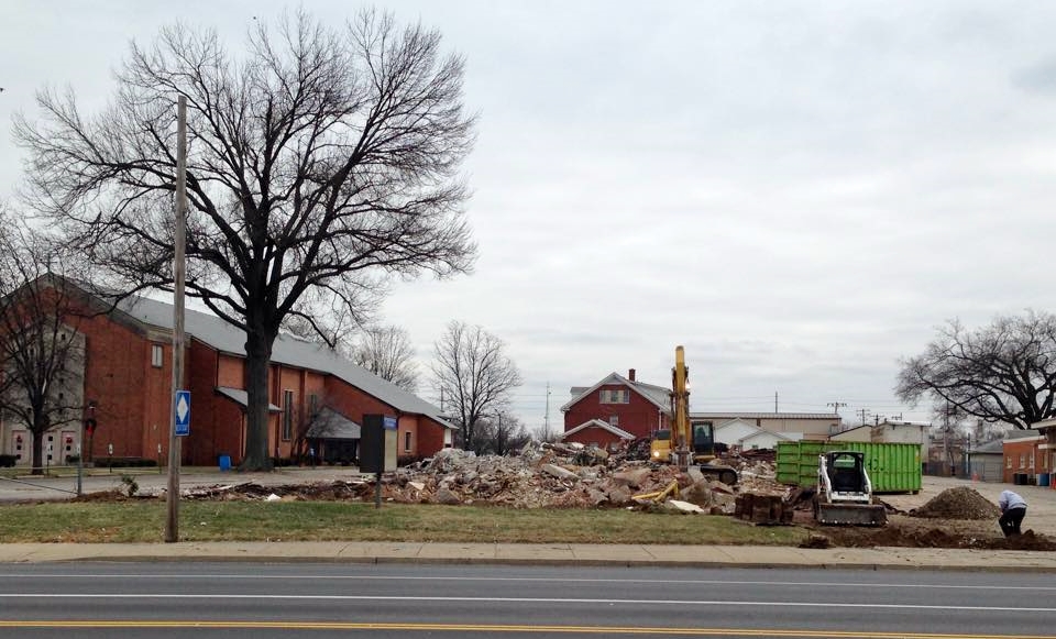
Beginning of the end for St Helen's School. Established in 1897, demolished January 2015.